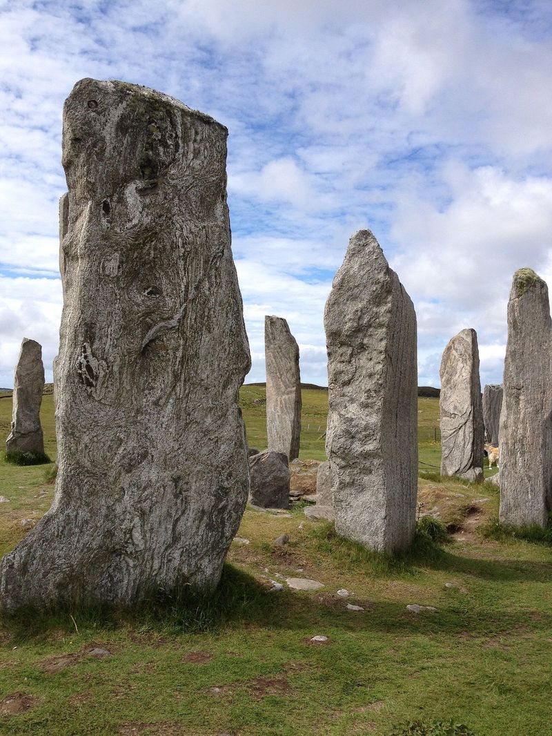
The Callanish Stones
A cross-shaped setting of standing stones on Lewis, raised around 5,000 years ago — older than Stonehenge, free to visit, and usually almost empty.
Show on map ↓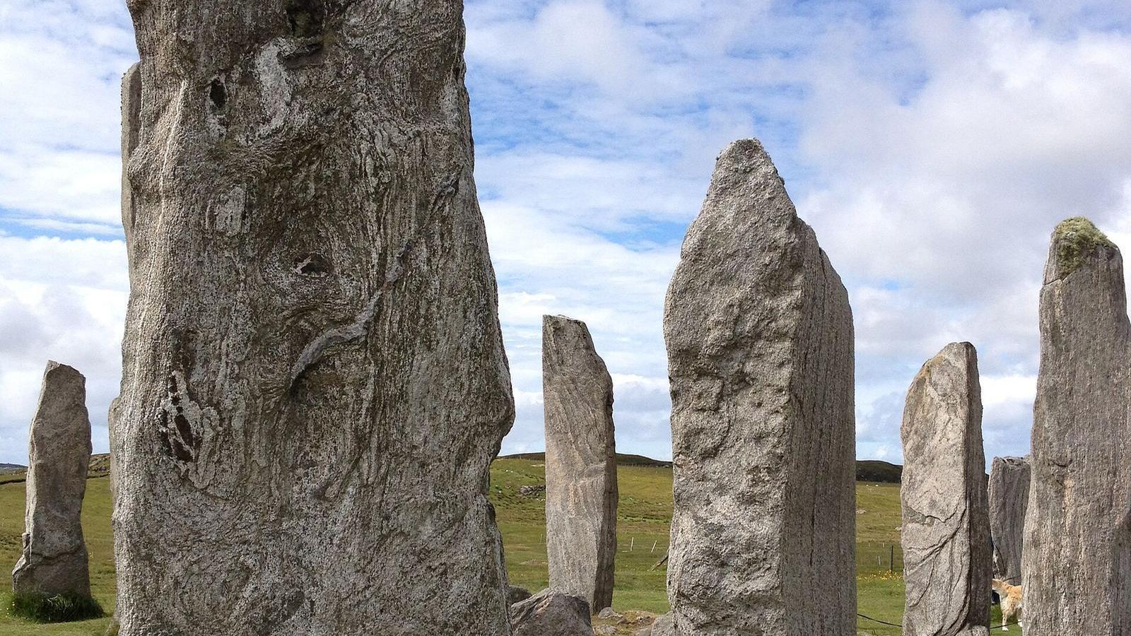
White sand, dark skies, and businesses you'll only find by being told about them
The Outer Hebrides are a 130-mile chain off the north-west coast, with white shell-sand beaches, some of the darkest night skies in Europe, and a living Gaelic culture. They also have the hardest discovery problem in Scotland: a weaver, a smokehouse or a café here may have no website at all, and finding them traditionally meant being told by someone local.
That's precisely the gap this page is for. Here are the landmarks, the islands and towns, and the businesses we can point you to.
This region is just getting started.
We're still building out this region.
If you run an independent business in Outer Hebrides & Islands, a free listing here puts you on the map — literally — for people searching for what you do.
Add your business freeThe towns and landmarks of this region. Business pins appear here as listings are added.
Scroll-zoom is off until you click the map, so the page keeps scrolling normally.
Places worth slowing down for in this region. We don't have listings in any of them yet — if you trade in one, you can be the first.
The Hebridean capital on Lewis — ferry port, castle grounds and the islands' main high street.
No listings yetThe isthmus village between North and South Harris, and the Harris ferry terminal.
No listings yetA small ferry village and the base for exploring the Uists' lochs and machair.
No listings yetNamed for Kisimul Castle, which sits on a rock in the middle of the bay.
No listings yetSouth Harris, on the road past the Luskentyre and Scarista beaches.
No listings yetWorth seeing in their own right, and a good way to get your bearings in the region.
A cross-shaped setting of standing stones on Lewis, raised around 5,000 years ago — older than Stonehenge, free to visit, and usually almost empty.
Show on map ↓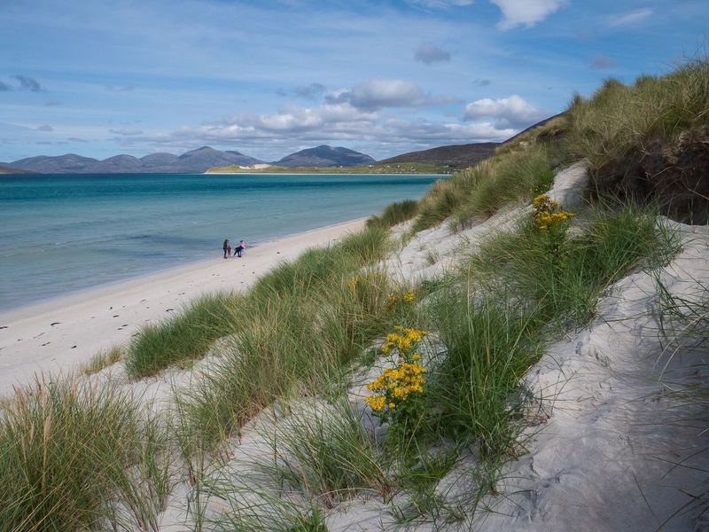
A vast tidal expanse of white shell sand and turquoise water on the west coast of Harris, backed by dunes and machair. Regularly named among the best beaches in the world, and usually almost deserted.
Show on map ↓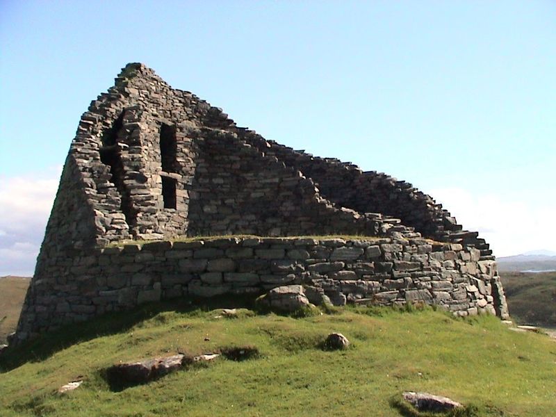
One of the best-preserved Iron Age brochs in Scotland, standing up to nine metres high on Lewis. You can see the double-wall construction and internal stair clearly from inside.
Show on map ↓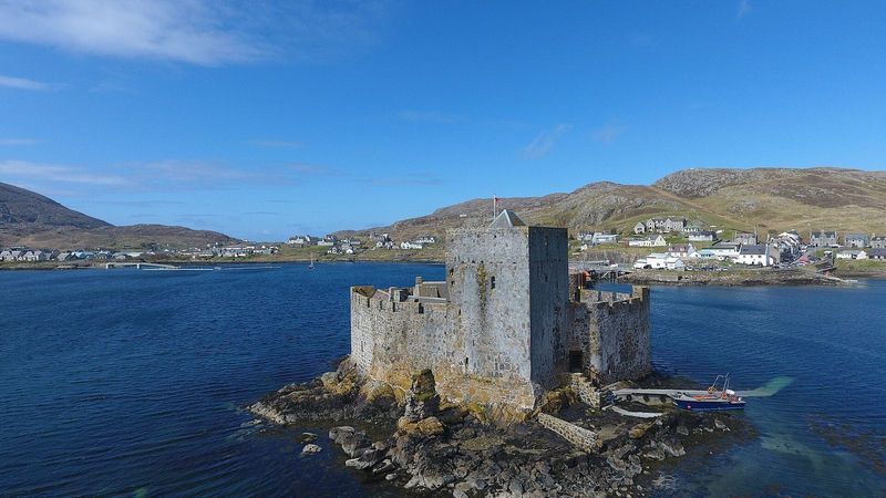
A medieval MacNeil stronghold built on a rock in the middle of Castlebay, reached by a short boat trip. There is no other castle in Scotland quite so committed to sitting in the sea.
Show on map ↓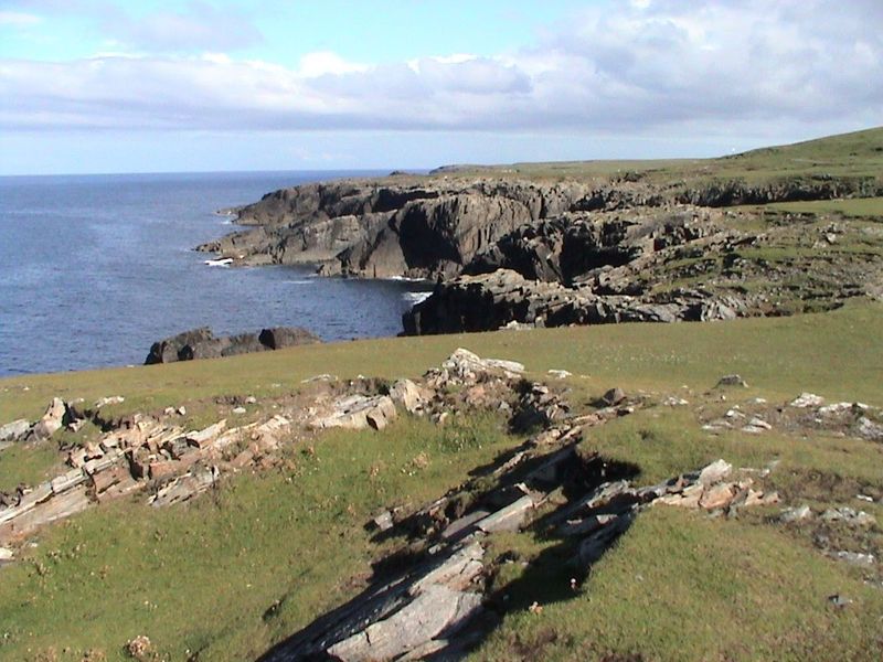
The northern tip of Lewis, with an unpainted red-brick lighthouse and cliffs taking the full force of the Atlantic. Once recorded as the windiest place in the United Kingdom.
Show on map ↓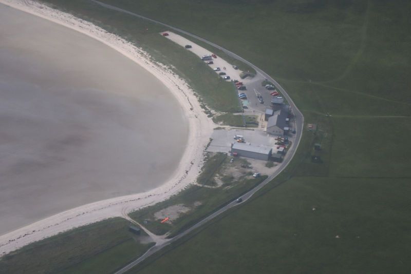
The only beach in the world used as a scheduled airport runway — flights to Barra land on the cockle strand of Traigh Mhor, and the timetable shifts with the tide.
Show on map ↓